The topic Google Maps on Android Auto now shows bigger labels on streets along your route… is currently the subject of lively discussion — readers and analysts are keeping a close eye on developments.
This is taking place in a dynamic environment: companies’ decisions and competitors’ reactions can quickly change the picture.
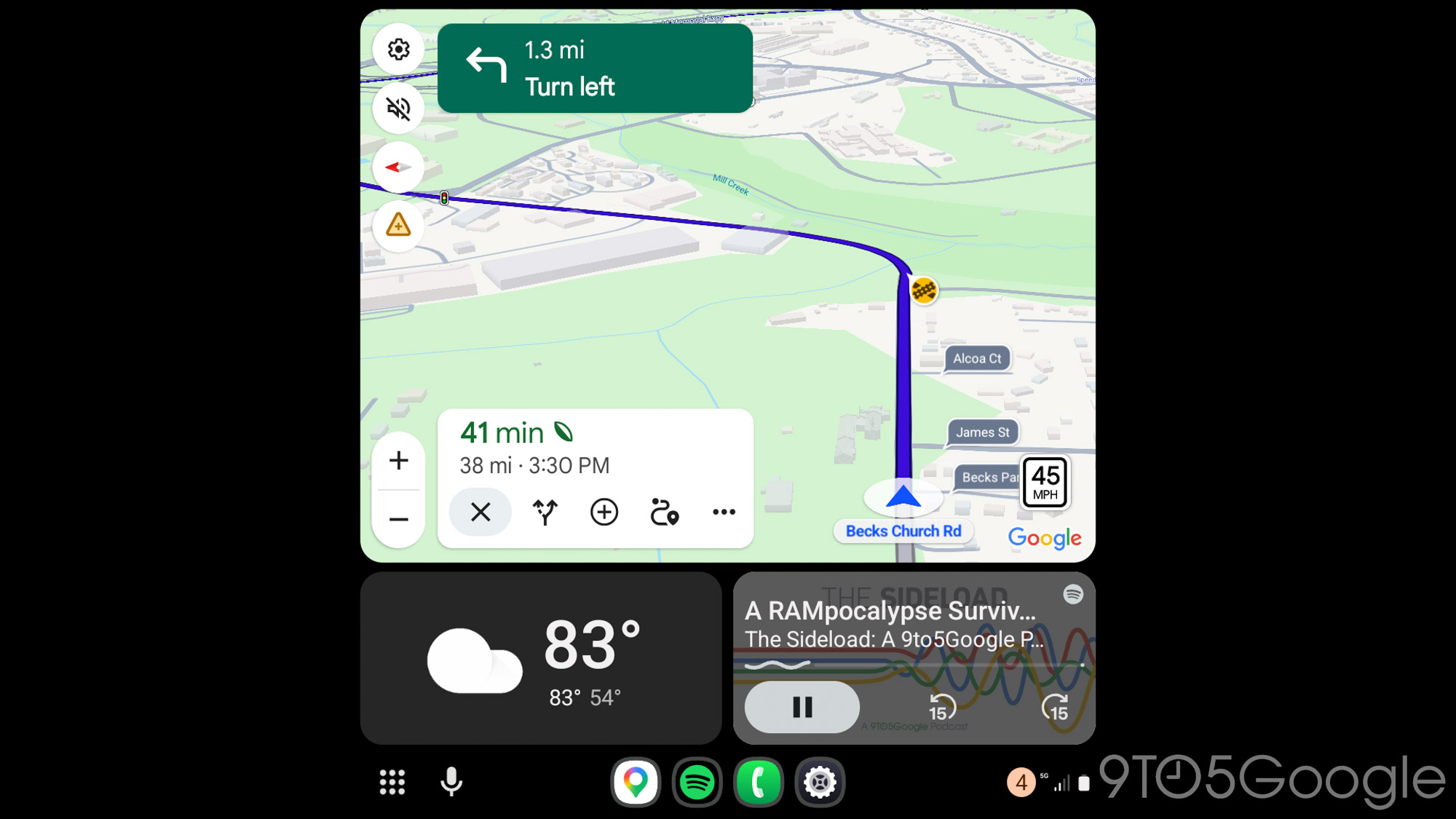
In a handy new tweak rolling out now, Google Maps now shows more prominent street labels on Android Auto.
Google Maps has long shown street labels along each road, but outside of your next turn, they’re very small. That’s changing, at least on Android Auto, as Google is rolling out a new change that shows larger street labels on Google Maps on the streets that are adjacent to your route.
This change is very prominent when you hit the road, with the labels appearing in blue with a white outline for roads that are a part of your route – this is a slight redesign, too – while roads adjacent to your route are gray with that same white outline.
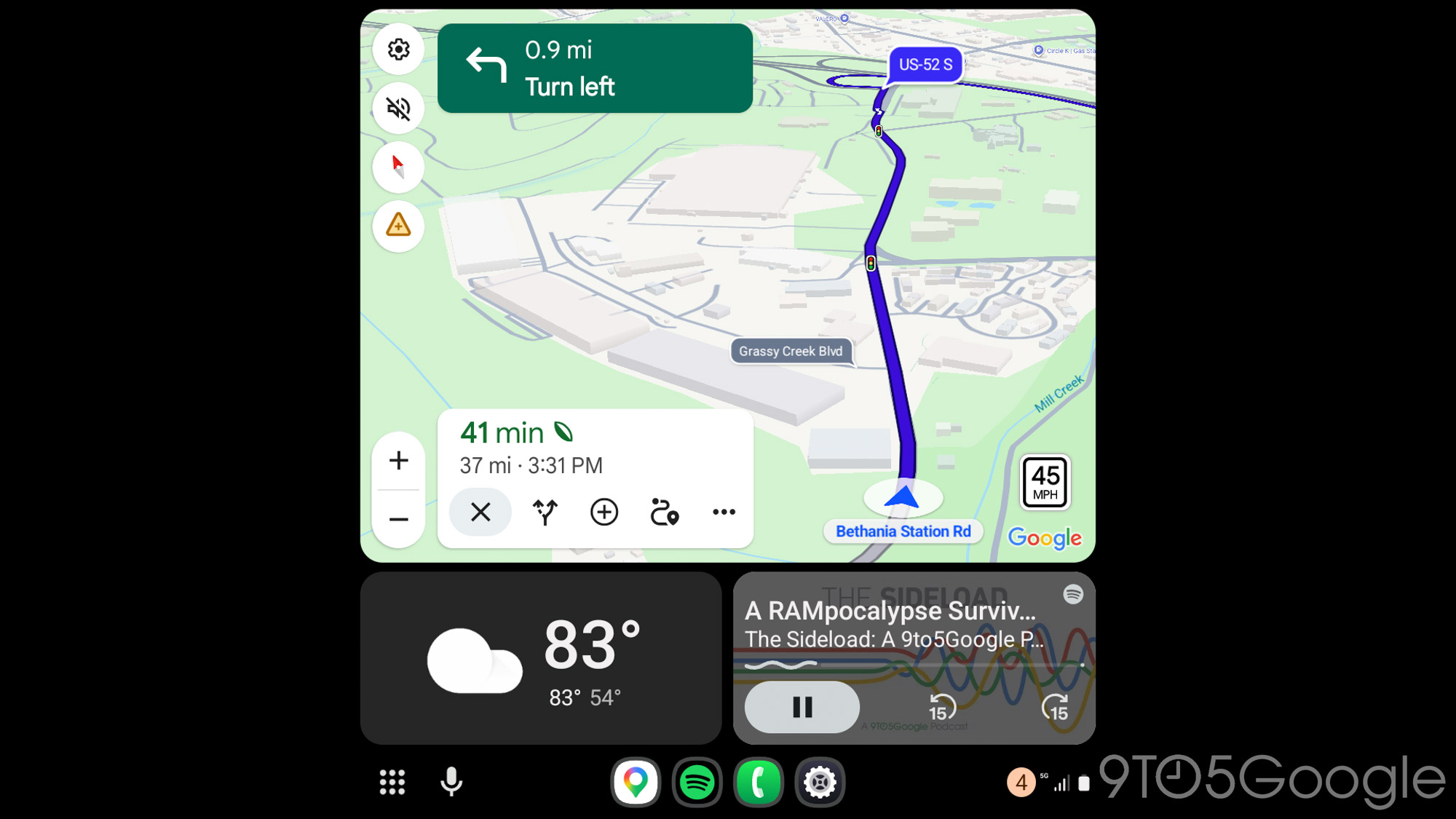
This change is a part of the Google Maps Immersive Navigation redesign.
While this might not be helpful in every route, it’s certainly useful if you’re trying to get around and need to know what streets you’re passing by. It’s only unfortunate that this only happens when navigation is active. If the map is simply open, the bigger labels are disabled. It’d be useful if this appeared on streets adjacent to the one you’re currently on when navigation isn’t active, since that’s when that information might prove more useful.
We’re seeing this change on Google Maps v26.17.03 and Android Auto 16.7.661604.